01
Flight control
Industrial flight controllers with 400 Hz update rates, failsafe protection and automatic takeoff, landing and return-to-home.
Technology
Advanced drone operations require an integrated ecosystem of aircraft, flight systems, payloads, communications, software and operational infrastructure.
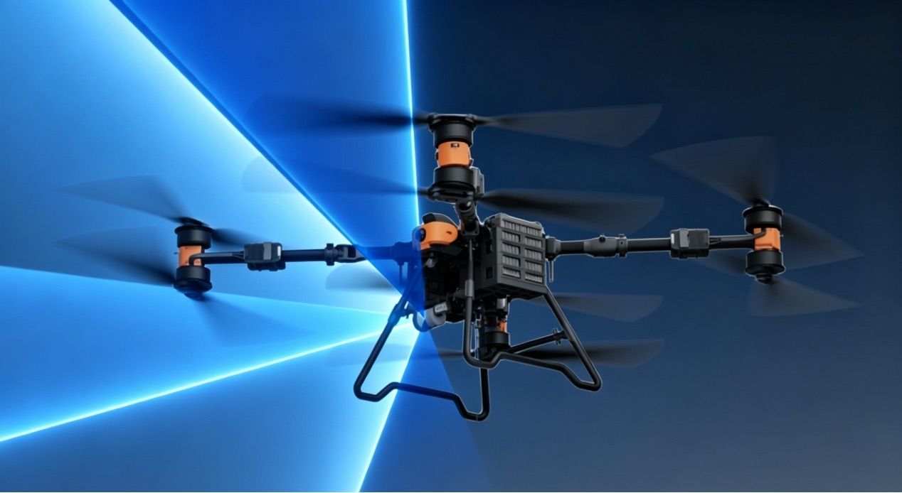
Industrial flight controllers with 400 Hz update rates, failsafe protection and automatic takeoff, landing and return-to-home.
GPS, BeiDou and GLONASS multi-constellation positioning with dual-antenna RTK for centimeter-level accuracy.
Flexible payload architecture for cameras, gimbals, sensors, spray systems, cargo hooks and specialized equipment.
Long-range data links with adaptive frequency hopping and AES encryption; up to 200 km line of sight on the Hybrid VTOL.
Optical zoom, thermal, EO/IR gas detection, LiDAR and millimeter-wave radar options depending on platform.
High-voltage smart batteries, semi-solid and solid-state packs, fast chargers up to 12 kW and hybrid fuel-electric propulsion.
Waypoint missions, terrain following, A-B patterns, geofencing and automated return on low battery or signal loss.
One-to-many control and multi-UAV coordination to integrate several aircraft into one workflow.
Technology
From propulsion to ground control, each layer is specified to work together.
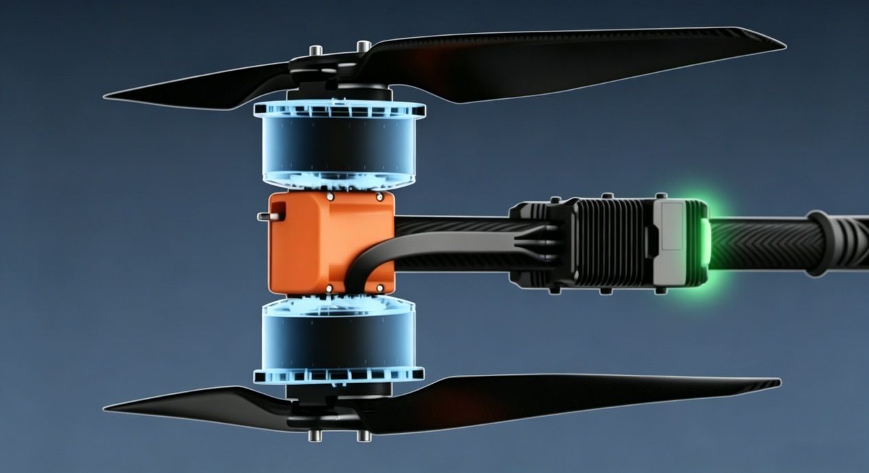
Paired motors on each arm increase thrust density for 200 kg-class cargo aircraft.
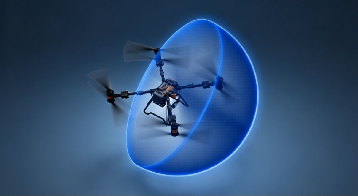
LiDAR scanning and millimeter-wave radar detect obstacles from 1 to 40 m with ±0.1 m accuracy.
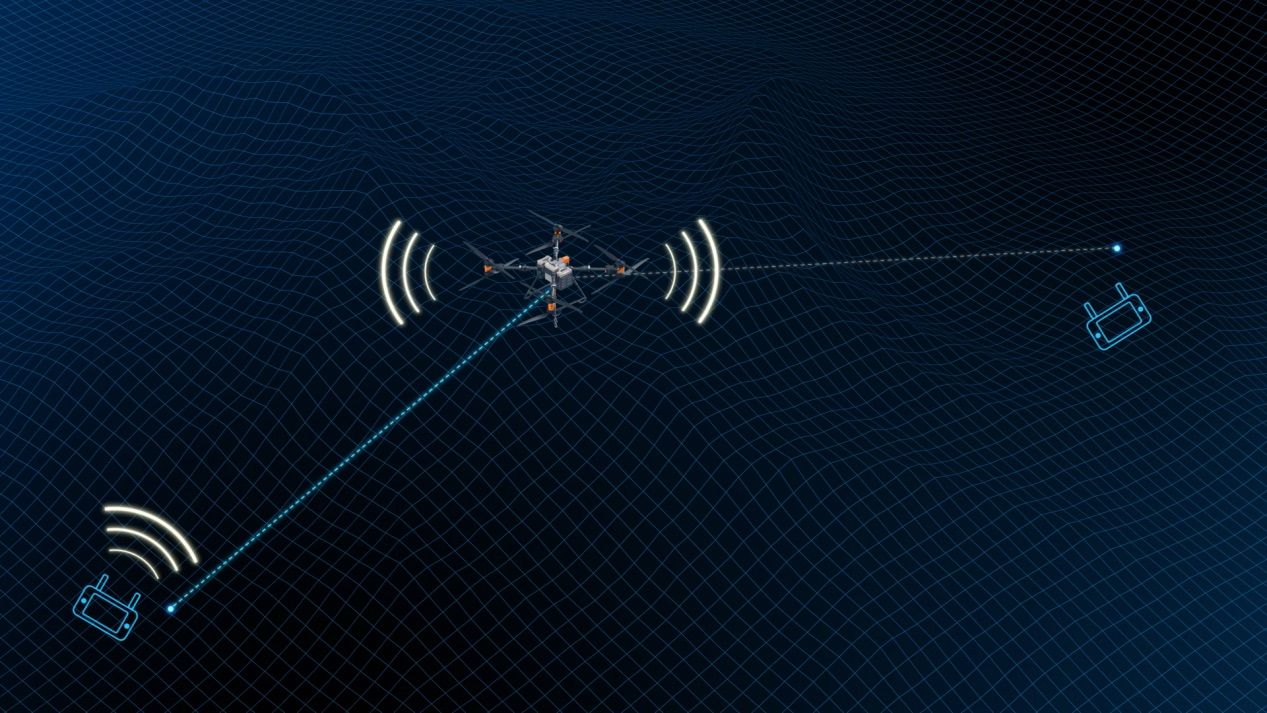
A single ground station can monitor and command multiple aircraft for coordinated operations.
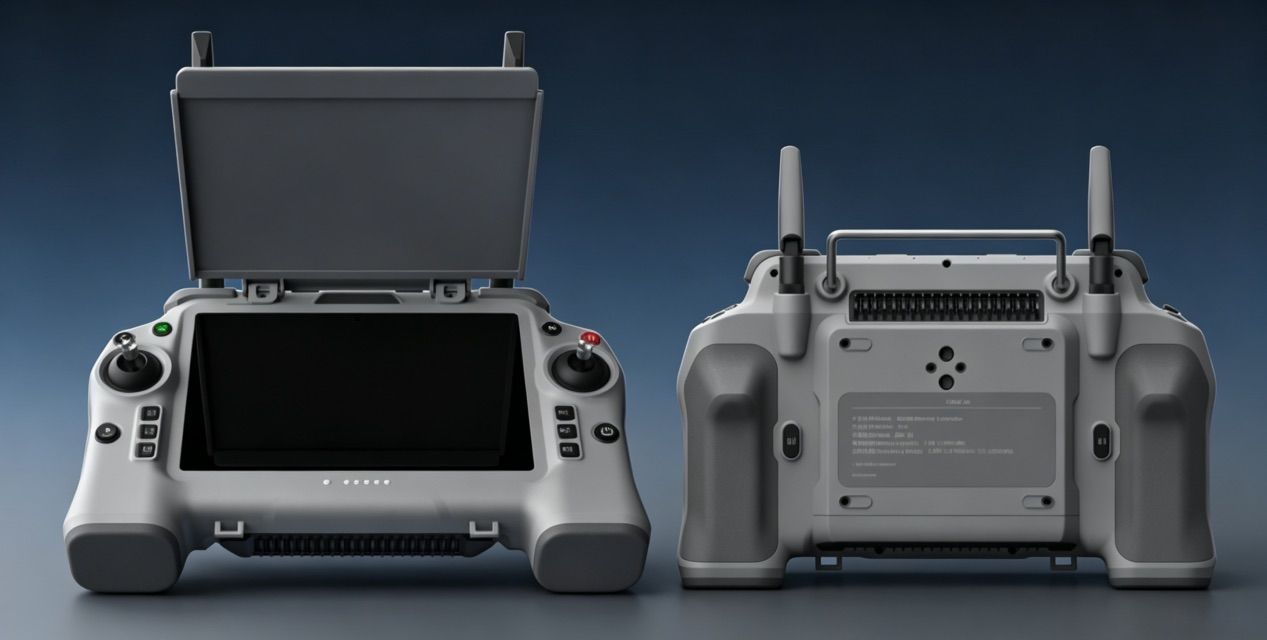
7-inch sunlight-readable controllers with 8–10 hours of operation, telemetry and mission planning.
Satellite positioning on its own is accurate to about a metre. RTK adds a fixed reference — a base station on the ground or a network RTK service — that receives the same satellite signals, calculates the error and sends corrections to the aircraft in real time. The result is centimetre-level positioning: on the QY-QX-420, hover accuracy improves from ±1 m with GNSS alone to ±0.1 m with RTK.
RTK in the current range
RTK needs a base station or network RTK coverage at the operating site. The X-Series Advanced configuration includes a handheld RTK base station.
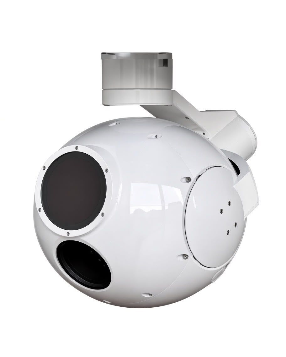
Payload system
Business inquiry
Tell us what you need to accomplish. Whether you are evaluating a single drone, building a commercial fleet or looking for a customized aerial solution, our team will review your requirements and recommend an appropriate platform.